
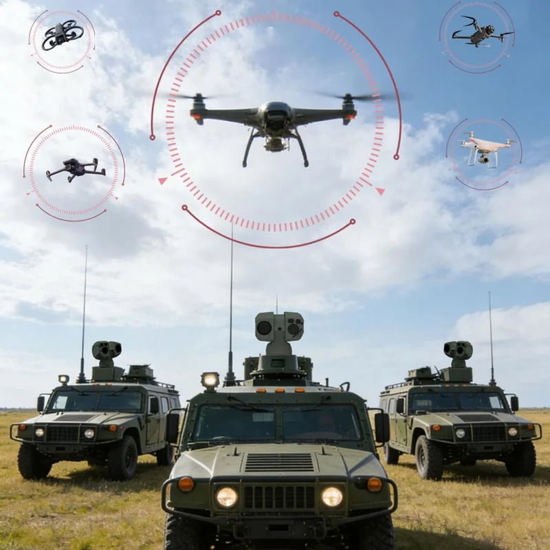
Anti Drone system
Comprehensive Approach
Layered Counter-UAS Monitoring for Critical Sites
An effective anti-drone system must do more than generate an alert. It must help operators understand where the target is, direct the appropriate sensor toward it, obtain usable visible or thermal imagery, maintain observation and preserve evidence for an informed response.
JEC’s role is focused on the electro-optical part of that workflow: industrial PTZ positioning, visible and thermal payload integration, long-range observation and connection to a project-defined command environment. Third-party radar, RF detection, fixed cameras or other approved sensors can provide the initial cue. The final detection source, EO/IR configuration, software interface, tracking method and response procedure must be selected for the protected site and applicable regulations.
How an Anti-Drone PTZ Camera System Works
- Detection or alert: A project-approved radar, RF receiver, fixed sensor or analytics source identifies activity that requires review.
- Target handoff: Coordinates, a sector, a preset or an operator command directs the EO/IR PTZ camera toward the area of interest.
- Visual verification: Visible and thermal channels help the operator inspect the target under the available lighting and weather conditions.
- Tracking and evidence: The PTZ system follows the target through the required observation area while video, events and operator actions are recorded.
- Command decision: The VMS, PSIM or command platform presents the evidence so authorized personnel can apply the site’s approved operating procedure.
The workflow must be validated end to end. A radar detection range, camera observation range or tracking result from one configuration cannot be assumed for another target, lens, thermal module, installation height, weather condition or software stack.
Counter-UAS System Architecture
| System layer | Typical project components | Primary role |
|---|---|---|
| Early-warning layer | Third-party radar, RF detection, fixed cameras or approved analytics | Detect activity and provide a location, direction, sector or event for review. |
| EO/IR verification layer | High-speed PTZ positioning, visible zoom, thermal imaging and an optional project-selected rangefinder | Point toward the cue, inspect the target and provide visual evidence. |
| Network and control layer | Project-specified video, PTZ control, event messaging and secure network connections | Carry commands, video and alarm information between field devices and software. |
| Command layer | VMS, PSIM, mapping, recording, event management or a customer-developed platform | Combine alerts and EO/IR evidence into an operator workflow. |
| Response layer | Site procedures and legally authorized third-party response systems | Support decisions after target review. Response authority remains with the project operator. |
EO/IR Payload Selection for Drone Verification
Visible Imaging
A visible zoom channel supports daylight scene review and the inspection of target shape, movement and surrounding context. Lens selection should be based on target size, expected range, required image scale, atmospheric conditions and the width of the search area.
Thermal Imaging
A thermal channel provides a complementary view when light is limited or the target has useful thermal contrast. Thermal performance still depends on detector and lens selection, weather, background temperature, target aspect and installation conditions.
Pan-Tilt Positioning
The positioning platform must match the selected payload, required pointing speed, tracking workflow, cable arrangement, wind exposure and mounting structure. Projects using narrow fields of view should pay particular attention to cue accuracy, positioning repeatability and mechanical stability.
Laser Ranging and Additional Sensors
Laser rangefinding or other modules may be considered when the project requires distance information or additional evidence. The selected configuration, laser safety requirements, target characteristics and site operating procedures require technical review before use.
Anti-Drone System Applications
- Airport perimeter and low-altitude observation: verify alerts around runways, approach areas, aprons and protected airport boundaries.
- Critical infrastructure security: review aerial activity near power, communications, water, transport and other protected facilities.
- Border and coastal surveillance: connect airspace alerts with long-range EO/IR observation at exposed or remote sites.
- Oil, gas and industrial sites: add visual verification to perimeter and facility-security workflows.
- Prisons and high-value compounds: support the review and recording of unauthorized low-altitude activity around controlled areas.
These are application scenarios, not claims of a universal configuration. Coverage, detection, recognition and tracking requirements must be confirmed for each site.
Relevant JEC PTZ Platforms
Review the Counter-UAS tracking PTZ camera range when the project requires EO/IR positioning and target verification. The long-range anti-drone PTZ surveillance platform is the primary equipment page for the keyword anti drone detection system. The multi-sensor thermal PTZ camera provides another configuration path where visible, thermal and ranging functions are being evaluated.
This Solution page explains the wider counter-UAS workflow. Product and category pages retain ownership of device-specific search terms, model information and technical specifications.
Information Required for System Configuration
- Protected-site layout, restricted zones and observation sectors
- Target classes, expected size, altitude, speed and flight direction
- Required detection source and whether radar, RF or another system already exists
- Day, night, weather, background and atmospheric conditions
- Visible and thermal observation requirements and expected image evidence
- Mounting height, wind exposure, vibration, power, network and maintenance access
- VMS, PSIM, mapping, command or customer-software integration requirements
- Recording, alarm, operator, cybersecurity and acceptance-test requirements
- Applicable legal, privacy, spectrum, laser-safety and response constraints
Frequently Asked Questions
What is the difference between drone detection and EO/IR verification?
Detection indicates that a sensor or analytics source has identified activity. EO/IR verification directs visible or thermal imaging toward the cue so an operator can inspect the target and surrounding scene. The two functions should be tested separately and then validated as one workflow.
Can a JEC PTZ system work with third-party radar or RF detection?
Integration can be planned when the external system provides usable location, sector, preset or event data and both sides support an agreed control method. Coordinate formats, latency, network design, command priority and failure handling must be confirmed during technical review.
Why combine visible and thermal cameras in an anti-drone system?
The two channels provide different evidence. Visible imaging can show scene detail when lighting permits, while thermal imaging can add target contrast in darkness or difficult lighting. Neither channel guarantees identification at every distance or in every weather condition.
What determines the observation and tracking range?
Range depends on target size and aspect, visible and thermal sensor selection, lens and field of view, weather, background, mounting stability, cue accuracy, image-quality requirement and the definition of detection, recognition or identification. A project-specific test method is required.
Does this page include drone mitigation or neutralization?
The scope described here focuses on detection-system integration, EO/IR verification, tracking, recording and operator review. Any mitigation function must be supplied and operated by authorized parties in accordance with local law and the approved project scope.
What should be provided when requesting a proposal?
Provide the site layout, target requirements, required coverage, existing sensors, visible and thermal expectations, mounting conditions, software interfaces, recording workflow, acceptance criteria and regulatory constraints. This information is more useful than requesting a universal distance value.
Discuss Your Counter-UAS Integration Requirements
Share the protected area, target assumptions, existing detection sources, EO/IR requirements and command-platform details with JEC. The engineering review can then focus on a suitable PTZ payload, integration boundary and validation plan for the project.
Recommended Hardware
Discover the core integrated machines that power this solution, engineered for seamless deployment and peak performance.
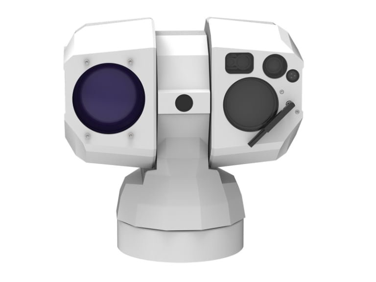
Multi-Sensor Thermal PTZ Camera with Laser Rangefinder and GPS for Outdoor Surveillance
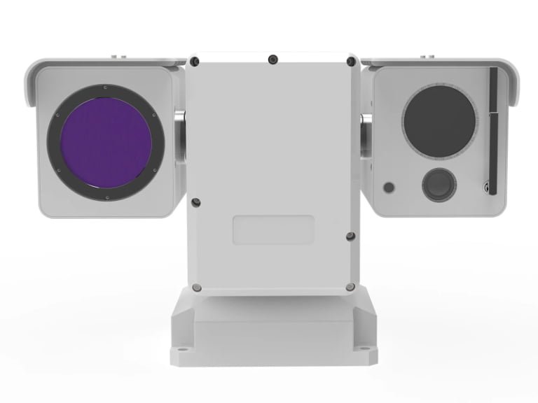
High-Speed Pan Tilt Zoom Camera for Outdoor Surveillance | Compact Dual-Light Intelligent Recognition PTZ
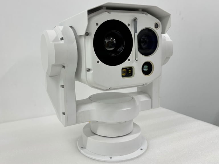
High-Performance Outdoor Pan Tilt CCTV Camera | PTZ for Industrial Monitoring
Implement This Solution Today
Connect with our engineering team to customize this integrated electro-optical solution for your specific operational requirements and regional compliance standards.